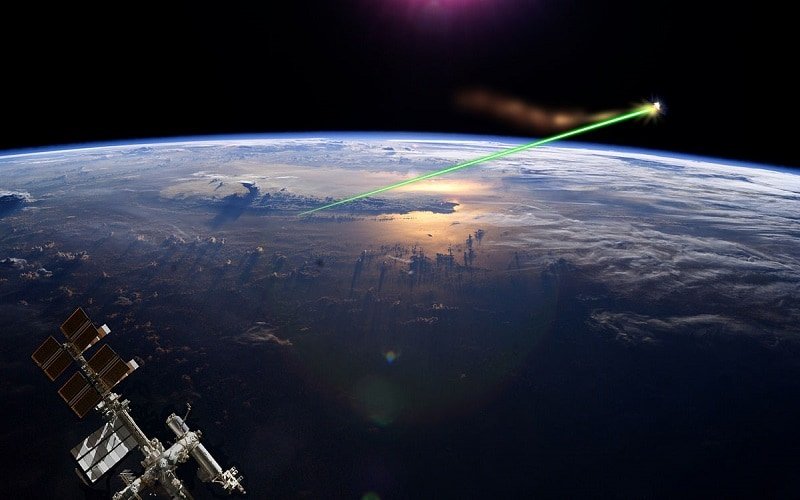
The end is nigh.
Soon, when NASA launches the ICEsat-2, the world will change forever.
In that, it will have new, very accurate readings about the nature of climate change in the arctic regions.
Yeah, it’s not a doomsday laser. It’s a research thing. But it’s still cool.
The Ice, Cloud, and Land Elevation Satellite-2 is NASA’s second iteration of the device and is currently entering its final stage of preparation. The device will measure the annual changes in the ice levels covering Greenland, as similar devices have done in the past. What’s more, the satellite’s beam will fire over 10,000 times per second, propelling six beams of light and trillions of photons into the earth. This massive rate of fire will allow it to capture over 60,000 measurements every second, giving NASA a clear view on the levels of Greenland’s ice – measurements so precise that the average margin of error is less than the width of a pencil.
Michael Freilich, director of the Earth Science Division in NASA’s Science Mission Directorate, speaks proudly of his work on the project, and believes the ICEsat-2 will have a very positive effect on the work of the teams at NASA:
“The new observational technologies of ICESat-2 – a top recommendation of the scientific community in NASA’s first Earth science decadal survey – will advance our knowledge of how the ice sheets of Greenland and Antarctica contribute to sea level rise.”
The laser that the satellite will use is known internally as an ATLAS for short or Advanced Topographic Laser Altimeter System. And according to ICEsat-2 Project manager Doug McLennon, the project required NASA to develop several entirely new technologies to ensure the collected data would be as precise as it could possibly be. “That meant we had to engineer a satellite instrument that not only will collect incredibly precise data, but also will collect more than 250 times as many height measurements as its predecessor”, continues McLennon, referencing the advancements between this year’s satellite and last year’s ICEsat-1.
During the satellite’s worldwide journey, it will make four seasonal measurements of ice levels before it goes on its return trip – By then, NASA will most likely have the ICEsat-3 up and ready to go, which may collect even more accurate data of the changing ice levels.
So what’s all the fuss over these ice levels? It’s a bit indirect, but still significant: Minor changes in these caps alone are not significant enough to affect global ocean levels, but it does reduce the amount of the sun’s heat that this ice is able to deflect away from the Earth and from the waters below. Less ice means more heat gets through, which can warm up the waters underneath, having big impacts elsewhere in the world: Shifting tides, altered wind patterns, etc.
If the difference in ice levels is particularly large, this will be a sign for NASA to not only inform world powers of the advancement of global warming but also may be used to predict the emergence of high tides or hurricane winds that may emerge in the future.
the ICEsat-2 is set to launch on September 15th. Its launch will be the final time the United Launch Alliance’s Delta-II Rocket is used, bringing an end to the rocket’s long 30-year career. The satellite will then spend two months checking for the functionality of its operating systems and data collection technology before employing the ATLAS in its first collection assignment.


Alyssa
August 30, 2018 at 12:17 am
Wow, that sounds interesting space is so crazy
Maya Asregadoo
August 30, 2018 at 11:44 pm
Seems like a good warning device to have, if water levels are ever in danger of rising.